 Disney Tips Your Guide To A Great Disney Vacation

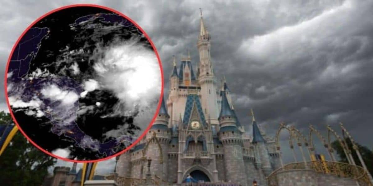
Current Status of Storm Invest 97L
The National Hurricane Center (NHC) is tracking a significant weather system designated as Invest 97L, located off the coast of Africa. This storm holds a 70% chance of developing into a hurricane within the next two days. As it evolves, the likelihood of intensification will increase to 90% over the upcoming week. This marks a crucial turning point in a hurricane season that has thus far been notably quiet, leading to heightened attention from meteorologists and residents alike as they monitor the situation.
Credit: Inside the Magic
Meteorological analysts suggest that the development of Invest 97L may significantly influence the upcoming weeks, signaling an escalation of tropical activity in the Atlantic. Observations have indicated favorable conditions for the storm to gain strength, emphasizing its potential to impact coastal regions.
Atmospheric Conditions Favoring Development
Warm ocean temperatures play a vital role in the formation of hurricanes. Atlantic waters are hovering above 80 degrees Fahrenheit, providing the essential energy required for storm formation. In addition, limited Saharan dust over the Atlantic contributes positively to the storm’s growth. High concentrations of Saharan dust can typically inhibit hurricane development by creating dry, stable air. However, the lack of significant dry air supports an environment conducive to thunderstorm activity.
Credit: Inside The Magic
Additionally, favorable wind patterns and atmospheric pressure will likely aid the storm’s intensification, as the National Hurricane Center emphasized. The meteorological conditions surrounding Invest 97L suggest a higher likelihood of this system evolving into the first hurricane of the Atlantic season.
Forecasting Potential Impact and Path
As meteorologists discuss forecasting the storm’s trajectory, forecasting the storm’s trajectory remains a key focus. Current models indicate that Invest 97L may take paths towards the Bahamas or along Florida’s east coast. However, uncertainty about the storm’s exact trajectory remains high. Some models suggest it may skirt past Florida, potentially resulting in heavy rainfall and strong winds for the state. Conversely, other models indicate a more severe scenario where Central Florida lies directly in the storm’s path.

Residents are being cautioned to prepare for varying outcomes as the storm develops. With the storm projected to be days away from making its definitive path, Central Florida may face significant weather impacts.
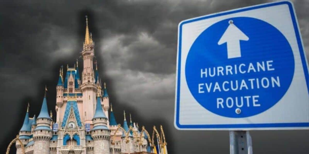
Importance of Hurricane Preparedness
In light of the potential for Invest 97L to develop into a considerable weather event, the National Hurricane Center stresses the importance of hurricane preparedness for residents living in affected areas. Central Florida, which recently experienced heavy rains and localized flooding, must remain vigilant and ready for the storm’s possible impacts.

Credit: Inside The Magic
Residents are urged to create emergency plans, including developing emergency kits stocked with essential supplies. Key items typically include sufficient water, non-perishable food, batteries, flashlights, and first aid supplies. Additionally, families should devise communication plans and familiarize themselves with evacuation routes, ensuring safety during possible severe weather events.
Staying informed through updates from the National Hurricane Center is essential as the situation unfolds. With conditions evolving and the first potential hurricane of the season on the horizon, vigilance and preparedness will be critical for residents anticipating the impacts of Invest 97L. As people prepare for the potential of an Atlantic storm heading towards Central Florida, understanding and addressing preparedness measures can make all the difference in safety and well-being during hurricane season.